Closure |
Conservancy Loss |
My Story |
Farewell Tour |
Environmental Loss
The Colby Fire began on Thursday, January 16, 2014 about 6 a.m. in the vicinity of Glendora Mountain Road and Colby Trail. The fire quickly spread west consuming the mountainsides above Glendora and Azusa. By the end of first day the inferno was only 30% contained and had destroyed 1,709 acres, five homes, and forced the evacuation of thousands from their homes. Eight helicopters and eight fixed-wing aircraft were used to fight the fire on the first day along with 750 firefighters on the ground. Heavy smoke filled the sky all the way to ocean and created unhealthful air. Firefighting efforts had focused on structure projection as officials decided to let the fire rage unchecked across the mountainside and destroy mature chaparral that hadn’t been burned since 1968.
By the end of day two the statistics hadn’t changed from 30% contained and 1,709 acres. By the end of day three, the fire had consumed 1,900 acres was 61% contained. The only active flames at that point were backfires set by the forest service. Most of the fire was outside the boundaries of the national forest.
As of 5:30 a.m. Sunday (day 4), the acreage consumed remained at 1,906 acres but containment was increased to 78%. Despite progress, officials pushed the blaze's estimated containment time from Sunday to Wednesday.

The three men who started the fire—Clifford Eugene Henry Jr., Steven Aguirre and Jonathan Carl Jarrell—shown in a courtroom artist’s sketch, appeared in federal court on Jan. 22, 2014. (Credit: Bill Robles)
Read more at ktla.com
|
As of about 8 a.m. on Tuesday, January 21 (day 6), the fire is 95% contained with 1,952 acres consumed, with a total of 299 personnel. Highway 39 is now reopened but motorists are warned to use caution, obey posted signs, and watch for emergency vehicles, personnel, patrols, and falling debris and rocks.
As of about 4:30 p.m. on Wednesday, January 22, (day 7), the fire is 98% contained with 1,952 acres consumed, with a total 299 personnel. Highway 39 is closed again because falling rocks and debris and is projected to be open at 5 p.m. on Jan. 23.
As of Friday evening, January 24 (day 9) the
InciWeb page indicates that it was updated about 4:40 pm but shows no changes with the fire at 98% contained, 1,952 acres consumed, with a total 299 personnel. It does not indicate if Highway 39 is reopened yet. These 299 personnel are either totally ineffective in containing the last 2% or someone isn’t giving us updates. It’s frustrating that the forest service does not feel that providing timely information to the public is important. And the
Angeles Nation Forest website has no information about the fire or road closures.
According a
KCET update at 5:30 p.m., Friday, January 24, Caltrans has extended its deadline for opening San Gabriel Canyon Road (State Route 39) to Sunday. L.A. County has extended its estimated opening date for Glendora Mountain and Glendora Ridges roads to Monday.
As of 12:30 p.m. on Saturday, January 24 (day 10) the InciWeb page shows no changes with the fire at 98% contained, 1,952 acres, with a total 299 personnel. Glendora Mountain and Glendora Ridge roads are now open.
According to the San Gabriel Valley Tribune, U.S. Forest Service officials announced that the Colby Fire was declared 100 percent contained on Friday, January 31. (I could not, however, find any place where the FS communicated that to the general public. There was nothing on the ANF website and as of Feb. 2, InciWeb had not been updated since Jan. 25 and showed the fire at 98% contained. All this is indicative of the Forest Service’s systemic dereliction in communicating to forest users.)
See the
InciWeb website for more details:
http://inciweb.nwcg.gov/incident/3766/
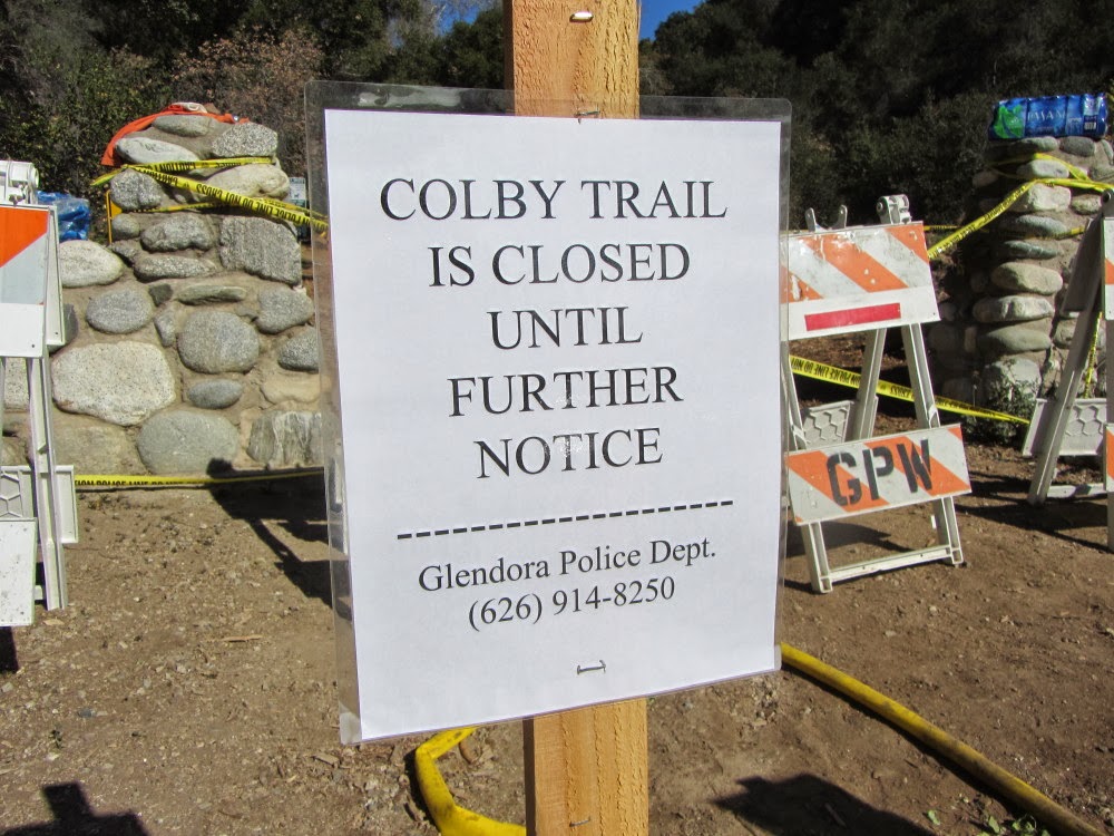
Closure Notice
The vegetation surrounding
Colby Trail in Glendora and
Garcia Trail in Azusa was incinerated causing the closure of both trails.

Garcia Trail Closed – Jan. 18, 2014
|
Colby Trail Closed – Jan. 18, 2014
|
COLBY TRAIL
Update 3-16-14: An official with the Glendora Conservancy said they are hopeful to reopen Colby Trail by May. There is still loose debris falling on the trail. They are also concerned with rogue hikers going off trail and damaging sensitive plant communities and creating soil erosion.
With permission from the conservancy, I was able to hike the closed trail and survey the fire damage. Read it about it in my blog post:
 Colby Trail Tree Planting and Hike
 - March 8, 2014
GARCIA TRAIL
Update 2-4-14: The City of Azusa has announced that because of the extensive damage to Garcia Trail and degrading conditions that will continue, L.A. County Fire and Department of Forestry has closed the trail indefinitely. The photos of fire damage to our beloved trail are quite telling. See presentation here:
Garcia Trail Update (2-3-14)
See these official links for unfolding information and updates:
The Azusa PD issued this statement: “Should you proceed past the signs advising the trail is closed, you are not only risking your safety, but may be subjected to both civil and criminal liabilities.”
Other social networking sites with discussion regarding Garcia Trail (beware of some misinformed and nonconstructive comments):

1-26-14 - Garcia Trail Damage.
Photo from City of Azusa
|
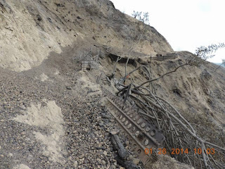
1-26-14 - Garcia Trail Damage.
Photo from City of Azusa
|
The bottom line: It may take years for the mountainsides to be stabilized enough for Garcia Trail to be restored for safe usage.

Meanwhile, here are a couple nearby trials to hike:

For those who love and will miss Garcia Trail, visit my
Garcia to Colby Farewell Tour photo album (12-31-13)
Conservancy Loss
Colby Trail, the namesake of the Colby Fire, is on property owned by the Glendora Community Conservancy, which has held, managed, and stewarded the open space for more than two decades. The fire ravaged the environs surrounding Colby Trail. The losses of wildlife, plant communities, endangered species, and natural resources are immeasurable and uncountable.
Visit the Glendora Community Conservancy to learn more.
Visit the my Colby Trail Hike Description at Dan's Hiking Pages for trail updates
Read San Gabriel Valley Tribune Stories:
My Story
Thur., January 16, 2014
When I turned on the news this morning at about 6:25 my heart sank. “Breaking News: Fire north of Glendora.” The images were horrifying. Wildfires are part of life, but when they occur next door, they invade and alter our reality.
I grab my camera and race outside, hoping maybe the newscast got the wrong city...maybe it's Glendale. Nope. A plume of smoke billows into the predawn sky. The orange glow of flames colors the ridgeline just a few miles east from my house in Azusa. I let out a cry that could wake neighbors. No, this can’t be happening to my mountains! I had just hiked in that area a couple weeks ago.
I contemplate staying home from work but I figured the fire would burn north and there would be not much to see. As I walk to the bus stop I continued to snap pictures of the rapidly growing plume of smoke. Post pics and a plea for prayer on FB. While on the bus to El Monte Station, my daughter calls; the flames have reached Garcia Trail! No, this can’t be! Her texted images paint a bleak picture. By the time I reach El Monte Station, orange smoke stretches across the eastern horizon. I could see flames on the mountainside.
As I arrive in L.A. across from City Hall, I decide to head up to the observation level on the 27th floor. Smoke stretches on the eastern horizon from Azusa to Orange County. My sister texts me from Mission Viejo. I finally reach work at 9:40 but it is hard to focus on my job. Coworkers empathize with me. Live, online video from newscasts tell the sad story. More pics and calls from my daughter fill in some details.
I wrestled with the thoughts of what my beautiful mountain will look like in months and years to come. These are my mountains, my trails, my backyard! Hiking Garcia Trail or Colby Trail will not be the same for many years. I’ve hiked a lot in burn areas—Curve Fire, Williams Fire, Morris Fire, Station Fire—and I know firsthand the devastating effects of wildfires. Well-meaning people try to console me by saying the fire causes seeds to germinate. That’s like telling a woman who lost a child that she is still fertile and can have more! Not much comfort!
I decide to leave work early and head for home at 2 p.m. My bus ride east on the I-10 provides some good views of the distant mountainside. The huge plume has dissipated into a smoky sky. Little white plumes rise from hot spots. Yellow super scoopers circle overhead but don’t appear to be attacking the fire. The news says 1,700 acres burned so far.
Get off the bus in Azusa at 4:20 at Foothill and San Gabriel and walk home, north toward the fire, taking pictures along the way. I grab my pack with some food and water and begin to walk to the fire, about one mile away. The front of our mountain facing south is completely incinerated. Heart sickening. Plumes of white smoke rise from hot spots. The air is smoky. My sense of heartache is lifted slightly at the sight of the iconic cross still standing on Azusa Peak. It feels like “and the flag was still there” line from the national anthem.

I arrive at the corner of Sierra Madre and San Gabriel at 4:56 near the mouth of the San Gabriel Canyon. The last direct sunlight lingers on the burnt mountain. Streets are blocked off by police. I walk up Hwy 39 and experience a little di je vu from making this same walk four months ago to view the Madre Fire. Across the street is the Crystal Canyon residential community. The west-facing mountainside rises steeply behind this corridor of townhouses. A hand crew, looking like tiny yellow ants, cling to the mountainside above the homes. Trucks and firefighters are stationed on the ridge. Much of the vegetation on these slopes have been spared, which helps buoy my spirit. There are only three tiny spots with active flames, which I assume will be hit by helicopters soon.

I stop about midway along the mountainside to get good view of the aerial attack which should be coming soon. I watch the tiny hotspots grow and creep down the mountain. I start to feel some anxiety as the fire grows unchecked. I begin to suspect that a decision has been made to just let it burn. Emergency vehicles drive up and down the highway.
After an hour at that location, I stroll up to Ranch Road for a better vantage point. The road separates the townhomes and the mountain. There are lots of firefighters staged at the base of the mountain to take their stand. Some are protecting the water filtration plant next to the hillside. News vans line the street. I give
an interview with Rick Chambers from KTLA5.
Canyon winds and fire-created winds fan the flames. The mountainside becomes a raging inferno. Dozens of spectators look on with awe. I am about 125 yards from the intense flames, experiencing heat and smoke and ash and the cracking and roar of the fire. Ambers cascade down the steep slope. The spectacular scene detracts my mind from the terrible environmental damage from today. I post photos to FB.
As the fire lies down, I start strolling down the road toward home. I don’t get far when I see a line of five fire engines from Ventura County lined up on side street, Ridgeview Drive. Firefighters linger about poised to protect these upscale homes if needed. I chat with one firefighter for quite a while. A thoughtful resident brings sub sandwiches to feed them. I leave and decide to walk back up the road for a final look. Most of the spectators and news crews are gone and the fiery show has subsided.

There are some active flames near the filtration plant so I wander over for a look. Enjoy a good conversation with a gentleman named Heath who lives nearby. A firefighter tells us we can come closer so we pass through the gate and walk about 75 yards to where a fire engine company from Huntington Beach is standing guard and hitting hot spots with water as needed. I chat with a firefighter and appreciate gleaning from his perspective. The fire puts on quite a show. We can see and hear the projectile explosions from the flair-gun type devices that forest service personnel are using to set backfires nearby, a practice which is controversial. After a while an employee of the City of Azusa asks us small group of spectators to leave. I say bye to Heath and continue north toward Hwy 39. I stop and talk with a firefighter from L.A. County manning a fire utility truck. He was one of the first commanders who arrived on the scene this morning and has been on the job all day. I gleaned much from our conversation. They were the ones who named the fire, Colby Fire, but when ANF showed up they wanted to change the name. The country commanders stuck to their guns to keep the name (good for them!). This is just a glimpse of some of the turf battles that take place between the various agencies.

I finally begin my walk home. It’s quit now. The mountainside is dark and highlighted with glowing ambers. The full moon provides illumination. My feet are sore and the walk seems long. I arrive home to catch the top of the ten-o-clock news. The fire has consumed five homes, 1,700 acres, and is only 30% contained. The fire was started by three guys in their early 20s who had built an illegal campfire and it got away from them. Thankfully the were caught and are in jail. What a horrible loss today.
Farewell Tour
I am thankful that a couple weeks earlier, on December 31, I decided to hike up Garcia Trail, traverse the ridge heading east, and descend via Upper Colby Trail and Colby Trail. I had no idea that it would be my farewell tour as that entire area would be soon be incinerated.
 Read about it in my Garcia Trail to Colby Trail Hike blog post
Visit my Garcia to Colby Farewell Tour photo album
Read about it in my Garcia Trail to Colby Trail Hike blog post
Visit my Garcia to Colby Farewell Tour photo album (12-31-13)
Environmental Loss
It greatly bothers me that the news media focuses almost entirely on the human dynamic of a fire—evacuations, structure projection, properties lost, road closures, unhealthy air, etc.—and virtually ignores the environmental impact. They report a “brush fire” as if it’s just a bunch of weeds burning and completely ignore that the fire is destroying a vibrant, native plant community that will take decades to recover.
And people have misconceptions about ecosystems and fire suppression and the balance of nature. I posted a picture on Facebook showing the naked mountainside with this caption: “The environmental loss is horrible. I’m stunned that officials chose to just to let this ‘fuel’ burn.”
A good friend responded by saying: “In my opinion...if smaller fires didn't occasionally burn, then larger and much more damaging ones would take place due to overgrown fuels. Although, this is a tragedy...could it be a blessing as well??
This was my response:
Thanks for trying to find the silver lining. However, this fire is not a blessing at all. It's a tragic loss of beautiful native habit that will take many decades to recover. That the firefighting community uses the term “fuel” like military commanders refer to death of innocent people as collateral damage. But they are people...moms and dads, sons and daughters, people who laugh and cry and dream and worship...gone! We didn’t lose “fuel” and it certainly wasn’t overgrown. We lost a mature native plant community...laurel sumac, toyon, chemise, lemonade berry, bay, coast live oak, sugar bush, coastal sagebrush, brittlebush, yucca, honeysuckle, yerba santa, prickly pear cactus, bush sunflower, hollyleaf cherry, clematis, elderberry...and habitat for bear, mountain lion, bobcat, deer, coyote, fox, rabbit, squirrel, and numerous birds and reptiles. It’s all gone and it’s a horrible tragedy. See my Plants on Garcia Trail to see some of what we've lost.

I wish the news media would report that side of the story. Well, sometimes they do...
Read San Gabriel Valley Tribune story by Steve Steve Scauzillo:
Fire Followers: Dazzling display of plants to follow California wildfires (2-8-14)
See Trail Descriptions on Dan's Hiking Pages:


 The smattering of small purple flowers is lost in a sea of amber grass. Back on the main trail I continue to climb. The fire damage has been softened over the year. Our drought makes the surrounding hillsides with its dead grass feel more like mid-summer than mid-spring. The temperature is quite pleasant and the warm sun feels good. Views open up over Glendora and haze mutes the horizon. I’m disappointed to see graffiti on rocks and signs. I encounter only one party en route, a group of several young men.


 See Colby Trail hike description at Dan's Hiking Pages