 See Jones Peak Hike Description at Dan's Hiking Pages
Jones Peak holds a special place and for me. It was the first summit I climbed in the San Gabriel Mountains. Every day in my drive to and from work on the 1-210 Foothill Freeway, I could see the trail zig zagging up the mountain to the pointed peak towering over Sierra Madre. So on April 15, 1995, my son and I climbed the 3.3 miles to the top of 3375-foot Jones Peak. Ten days later I bought John Robinson’s
Trail of the Angeles and so started my love for hiking in the San Gabriels. As I start my twentieth year of hiking the Angeles, it’s fitting to revisit Jones Peak. And I can add Hastings Peak to it and be able to check off another summit from the
Sierra Club Lower Peaks list to end the year. The hike is about 9 miles round trip with 3,000 feet in elevation gain.
I leave the house at 11:20, which is unusually late for me to go hiking. But the morning was cold and I was having a hard time motivating myself to get going. I navigate my way to Bailey Canyon Park in Sierra Madre. There are about 10 cars in the parking lot. The air is brisk but I figure I’ll be fine in my t-shirt once I get going.
11:50 - Begin Hike. I follow the paved service road past the flood control basin and begin my walk into nature. It’s been six years since I’ve hiked to Jones Peak and I’m a little excited. Recent rain has brought life to plants and grass. I love the freshness from yesterday’s rain. A remnant or golden leaves hang onto the sycamores as they go dormant for the winter (yes, SoCal has seasons!). In five minutes I pass the bridge to Live Oak Nature Trail, and in another four minutes pass the junction to
Bailey Canyon Falls.
Now I begin the earnest climb. The tiny white flowers of wild cucumber are about the only thing in bloom.

Soon views begin to open up of the San Gabriel Valley and beyond. Haze mutes the horizon. To the north up canyon, Hastings Peak stands regally inviting me to climb it. I love the aroma of the chaparral. Lots of switchbacks keep me walking in all directions. Trail volunteers have been busy building steps and retaining fences. The warm sun feels good. As always on this trail, I encounter other hikers coming and going, but it doesn’t feel crowded.
12:24 - MacCloud Saddle, 1.0 mile from the start. The canyon walls get steeper and more rugged. Sugar bush sports its pink bud clusters.

I’m really enjoying the beauty of the canyon. A blimp floats above Pasadena. Being December 31, it does not escape me that thousands of Rose Parade viewers are heading to Pasadena to find their spots along Colorado Boulevard. I’ve done that many times with family and friends over the years. But tonight I’ll enjoy a warm bed and tomorrow I’ll watch the parade on TV while blogging about my hiking adventures.
1:09 - Cabin foundation, 2.2 miles from the start. I sit on the stone wall and have a snack. Since the last time I was here, a bronze plaque has been mounted on the wall.

It reads, “George’s Cabin” and I’m amused by the story. I’ll let you hike here to read it for yourself. Another man arrives to check out the foundations. Strangely, he is not familiar with the well-known story alluded to on the plaque and the spoof is lost to him.
I leave the foundation at 1:22 and continue climbing. The trail gets steeper in this section and I’m getting a good workout. I enjoy the richly textured chaparral, fresh air, and blue skies. There virtually no shade on the trail and the warm sun is welcome on this brisk winter day (this trail can be punishing in full sun of summer…I know!). Through the distant haze, I can see the sun glistening off the Pacific Ocean.

As the trail bends around the backside of Jones Peak, I encounter a small patch of snow in the cold shade (yes, it’s winter in SoCal!).
2:10 - Jones saddle, nearly 3.3 miles from the start. I now have a view east toward snow-covered Ontario Peak. It’s cold in the shade and I’m eager to climb the steep pitch south to the summit and warm sunshine. Gosh, this is steep.
2:16 - Jones Peak (3375’), 3.3 miles from the start. It’s sunny but a breeze is chilling. I put on my long-sleeved shirt. A couple other guys are here. The one guy who I met at the foundation is just leaving. I enjoy chatting with Jonas, who is a volunteer with the distinguished Sierra Madre Search and Rescue. Jonas is carrying a full pack with equipment; today is a condition hike for him, just to stay in shape. I always so appreciate the huge sacrifice these dedicated volunteers make. I hope and pray I never need their service.

Jonas leaves the peak heading south down firebreak.

As I’m snapping pictures, the wind kicks up and I’m amazed how quickly the weather goes from comfortable to frigid. Man it’s cold! I’m first impulse is to hightail it down the mountain and skip Hastings Peak. I leave the summit at 2:44 and arrive at the saddle in four minutes. Amazingly, it’s not cold anymore! I quickly get a change of heart and decided to continue. After a sandwich and putting on my gloves, I proceed north climbing the steep trail. The warm sun feels good and there is little wind.
3:01 - Hastings Ridge junction. To the right is the crossover trail descending north into Little Santa Anita Canyon to intersect Mount Wilson Trail. I turn left and head west up the board ridge. It’s a good path with great views. Nearby Mount Harvard and Mount Wilson dominate the northwest skyline. Ahead, Hastings Peak stands prominently on this ridgeline. I have striking views south into Bailey Canyon and ponder how high I’ve climbed.
3:14 - Highpoint 3724. I’ve been here once before on a hot summer day in July 2004 coming up from Little Santa Anita. On that hike was the first I heard about Hasting Peak, having seen it mentioned on the sign at the junction. I didn’t know if it was this peak or the next one up the ridge (and it didn’t show on the map), so I stopped here and went back because the hike was getting long on hot. So Hastings Peak has been on my hit list for 10 years.
I continue west along the undulating ridge enjoying the views and feeling excitement about bagging a listed peak to end the year. I also contemplate the reality that it will be dark before I complete this hike…oh no, I just remembered that Bailey Canyon Park closes at sunset…will my car be locked in?! Dang! Oh well, I guess I’ll face that situation later. For now, I continue to the peak. At 3:25 I reach the base of the final pitch to the summit. It’s quite steep now. I encounter more small patches of snow.
3:34 - Hastings Peak (4000+’) - I’m here! Great 360 panorama. At least 25 named peaks in the San Gabriels can be seen from here on the northern panorama.

The San Gabriel Valley sprawls out in the southern panorama, muted by haze. The survey maker indicates that it was placed in 1940. I’d love to sit up here for an hour in more clear weather on a warmer day just soaking in the views. But it’s cold and getting dark soon so my visit is brief. I leave the peak at 3:46.
I retrace my steps down the ridge at a good clip. The sun feels good. I reach highpoint 3724 at 4:05, the junction at 4:15, and Jones saddle at 4:22. I move my headlamp from the pack to my pocket. The soon-setting sun casts a golden glow on the surrounding chaparral. As I descend lower into the canyon and the sun drops lower to the horizon, I’m hoping to have line of sight to see the last sunset of 2014. At 4:54 I get my last shot of the sunset. I pass the cabin foundation at 5:02.

The city beyond the v-shaped canyon is turning into a blanket of twinkling lights. I try to call the Sierra Madre PD to let them know my car is in the parking lot at Bailey Canyon Park and to see if I can keep it from getting locked in, but I’m not getting reception.
I resist using my headlamp for as long as I can since I prefer ambient light. As I’m negotiating a switchback my peripheral vision spots what appears to be a small back animal near my feet. It startles me, then I realize it is my shadow being cast by the moon. At 5:21 I finally get my call through to the police dispatcher and she says she’ll alert the officer on patrol. I finally switch on my headlamp on at 5:39. Even with light, walking in the dark is slow. I’m enjoying the beauty of nightfall. Temperature wise, I’m still comfortable without my third layer.
6:17 - End hike. I am elated that the parking lot gate has not been closed and there is no ticket on my car. It’s 44 degrees.
Epilog - What an enjoyable hike to end the year! Superb trail, rich chaparral, freshness after the rain, warm sun, blue sky, splendid views, a familiar peak and new peak, and great exercise. What a blessing to live next to such amazing mountain range and be able to hike.
 See Jones Peak Hike Description at Dan's Hiking Pages
 See Plants in Bailey and Rubio Canyons, Dan's Hiking Blog
 - March 27, 2011

 |
|
 The route is primarily cross country, and after I studied the topo and Google Earth, I was ready to go.
 A split-rail fence and an interruptive sign mark the beginning of the nature trail.
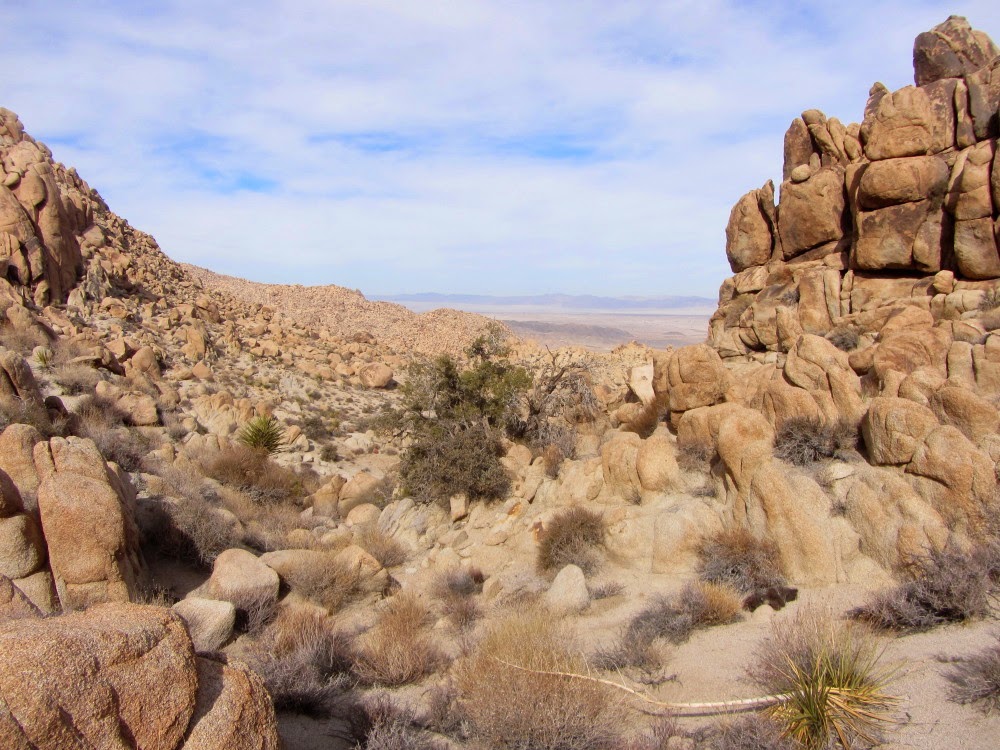


 ...very different from the rocks in my San Gabriels. I have some knit gloves in my pack to keep my hands warm, but I’m not outfitted with suitable groves for this challenge.
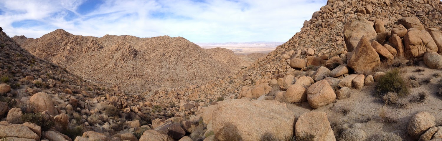
 Hoof prints
 and scat are present, but I don’t know if they are from deer or bighorn sheep. Looking at the west flank of Mel, it seems to be as challenging as the south side from the saddle.
 Ragged rocks, blistering sun, deceiving distances, poisonous snakes, blinding sandstorms, stinging ants, and the absence of water and cell reception. Oh the drama of the desert! But oh beauty!

 See Joshua Tree hikes at Dan's Hiking Pages


